
Look Up Idaho Falls Neighbors
A block lookup starts with geometry. The City GIS layers can show streets, addresses, city limits, parcels, subdivisions, buildings, and zoning. The county viewer supplies a second parcel and situs check, while the Recorder index connects names to legal instruments. None of these sources establishes who socializes, receives mail, or belongs to a household.
| Source | What It Shows About a Block | Access |
|---|---|---|
| City GIS layers | Address, parcel, subdivision, building, zoning, and city-limit context | Public map-service legend |
| Bonneville Parcel Viewer | Parcel, situs, name, and county map context | Online viewer |
| Recorder index | Parties and recorded instruments tied to parcels or situs | Online index, counter, or mail copies |
| Imagine IF | Public planning areas and meeting geography | City notices |
| Neighborhood Watch | Guidance for a resident-led safety group | City program page |
An owner name is evidence of a property role at a date, not current occupancy. A mailing address can differ from the situs, which is the physical parcel address. A recorded deed confirms a legal transfer, but a tax or map display does not replace that instrument. Keep the term neighbors limited to spatial adjacency unless another public source supports a different connection.
Read Idaho Falls Parcel Layers
Turn on only the layers needed for the block: Streets, Address, City Limit, Parcel, Subdivision, Building, and Zoning. Too many overlays can hide the parcel edge. Identify the target polygon, then inspect contiguous lots on each side, behind it, and across the street. Record the north arrow, map date, visible layer names, target parcel ID, and each adjacent parcel ID.
The Idaho Falls Cityworks GIS legend shown below documents the available public layers.
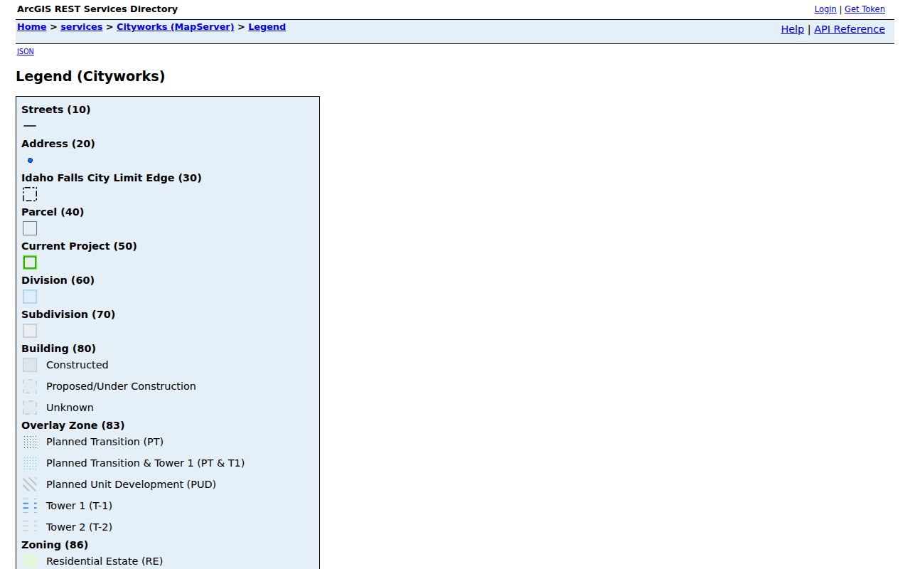
Use the city display for context, then confirm each parcel in county mapping and each ownership claim through the Recorder.
A cul-de-sac, alley, river, railroad, canal, utility tract, school, cemetery, or large public parcel can make next door unclear. A nearby shape may have no situs address. Label the institution or public tract as shown. Do not force it into a household list.
Map an Idaho Falls Block
The safest process moves from one verified address to adjacent polygons, then to source records. This keeps the scope at the immediate block rather than expanding into a named-street sweep.
- Normalize the target street number, street name, unit, city line, and current ZIP. Locate it in city mapping.
- Save the target parcel ID and situs. Inspect every contiguous polygon and relevant across-street lot.
- Cross-check those IDs in the Bonneville Parcel Viewer. Note any difference in update date or geometry.
- Search the Recorder by parcel, situs, grantor, or grantee. Save instrument numbers rather than copying a map label as title proof.
- For the whole road, switch to the Idaho Falls street directory workflow.
If an address does not resolve, use the static city street and subdivision grid or county section-township-range context. Save the closest cross street, baseline, subdivision, and map page. City Planning or County Platting and Mapping can help with that normalized description.
Idaho Falls Neighborhood Programs
No official comprehensive directory of private neighborhood associations was located. The city offers two useful public routes instead. Neighborhood Watch gives residents a way to organize around safety, while Imagine IF divides planning meetings into five public areas. Neither publishes a list of private members or proves that a parcel belongs to a formal association.
Neighborhood Watch
IFPD describes groups as neighborhood-led. Residents contact one another, discuss concerns, set an action plan, and may register resources with the national program.
Imagine IF
City planning materials organize public meetings into areas 1 through 5. Notices can identify affected streets and meeting geography.
Historic Preservation
Commission plans, inventories, tours, and recorded-resource documents can add historic block context without proving present ownership.
The Idaho Falls Neighborhood Watch page is shown below.
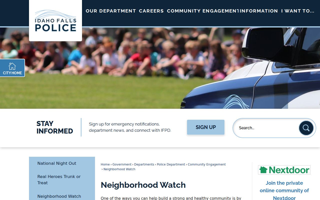
It supports local coordination while keeping member names and addresses out of a public roster.
Idaho Falls Meeting Area Boundaries
Imagine IF notices show where the city invited residents to discuss public plans. An area can be framed by streets such as the Second through Seventh Street and South Boulevard through Holmes corridor, but that line is a meeting device, not a subdivision plat, ZIP boundary, or private association. Use the notice to locate public documents and civic issues tied to a block.
The Imagine IF neighborhood-area page appears in the assigned image set.
Its areas help find meeting notices, not private contacts. Verify property questions against parcel and Recorder sources.
Trace Historic Idaho Falls Neighbors
For an older block, pair the parcel map with Sanborn fire-insurance sheets, a city directory street section, a census enumeration district, historic aerials, election precinct material, or newspaper notices. Library of Congress Sanborn editions were located for 1900, 1911, and 1921. They can show structures, use, street names, and map-date context. They do not prove title or a present boundary.
Street numbering also matters. Idaho Falls uses Original Townsite and later baseline systems, with block and even-odd rules that can change how an old address is read. Build a translation row containing the old number, street or baseline, modern number, parcel ID, subdivision lot and block, and source date. An absent building on a Sanborn sheet may be outside the mapped area, so describe that limit instead of claiming the structure did not exist.
Note: A historic district describes a designation and time period, not the current owners or social ties among Idaho Falls neighbors.
Compare Idaho Falls Neighbor Sources
Official records and commercial neighbor tools serve different roles. The official source identifies its custodian, date, field meaning, and correction path. A commercial category may blend old addresses, inferred households, and reused data without making those distinctions clear.
| Source type | Strongest use | Main limit |
|---|---|---|
| City or county GIS | Parcel adjacency and public map context | Not title or occupancy proof |
| Recorder instrument | Recorded ownership and legal acts | Does not identify all occupants |
| Public meeting material | Civic areas, notices, and planning records | Not a member directory |
| Commercial category | A possible lead to test elsewhere | Unknown freshness, source, and inferred relationships |
For Idaho Falls neighbors, stop at the public address, parcel, instrument, or public-program level. Use direct, lawful contact rather than assembling a private roster.
Protect Idaho Falls Neighbors
Parcel tools do not disclose every occupant, and they should not be used to infer renters, children, family ties, utility accounts, deliveries, or private group membership. Idaho voter records expose only a limited public field set. Physical voter cards and sensitive identity fields stay private. Sealed court content, victim details, and protected addresses also remain outside a lawful block search.
Idaho's Address Confidentiality Program provides eligible survivors with a substitute address, mail forwarding, and confidential voter-registration treatment. Never try to work around it with map, voter, or recorded data. Idaho Code §9-348 also restricts agency distribution or sale of mailing and telephone lists. Ask agencies for parcels, maps, instruments, zoning, or public meeting records, not a private contact list.
Lawful use. Research Idaho Falls neighbors for civic, history, and personal-safety purposes. Never watch, harass, intimidate, or expose a protected person.