
Idaho Falls Previous Resident Sources
The best source depends on the date and the question. Start with a deed when the goal is past ownership. Use a directory or census for occupancy. Maps show the structure and street context but usually do not name residents. The current Idaho Falls parcel gives the link to today's legal description, while archive records carry that description and address backward.
| Historical source | Period represented | Where to obtain it | Evidence it adds |
|---|---|---|---|
| Bonneville Recorder index | Displayed from 1911 to the current index date | Online portal, courthouse counter, or mail | Parties, instrument, date, parcel, and legal-description references |
| Idaho Falls directory runs | 1907-08 through 1971 reels; later shelf years into 2000-era holdings | ISHS, BYU-Idaho, IFPL catalog, FamilySearch | Dated name, address, work, and household clues |
| Federal census | Released through 1950 under the 72-year rule | NARA and partner access | Household members at a decennial date |
| Sanborn maps | Located Idaho Falls editions for 1900, 1911, and 1921 | Library of Congress and IFPL Digital Sanborn | Street, footprint, materials, stories, and use |
| Historic aerials and resources | Aerials from 1954; city inventory current through October 2024 | City Maps and Historic Preservation | Site change, urban growth, and a dated preservation lead |
For a recent address, begin with the parcel and Recorder. For a twentieth-century occupant, add the nearest directory years and census. For an older lot, test Eagle Rock, Bingham County, Sanborn coverage, and newspapers. Record every source date because none of these collections proves continuous occupancy.
Bonneville Deeds Reveal Past Owners
The Bonneville County Official Records Search is the main legal index. It accepts both names, grantor, grantee, parcel ID, situs address, instrument number, book, page, subdivision fields, section-township-range, document type, and dates. Its displayed coverage began January 1, 1911 during the research check. The portal warns that records before 1995 should not be searched by recording date, so use names, instrument number, or book and page for that period.
- Find the current parcel by situs address in the Bonneville County Parcel Viewer. Save the parcel ID and full legal-description reference.
- Locate the newest ownership deed. Record its instrument number, date, type, grantor, grantee, and book or page.
- Search the seller as a grantee in an earlier period. That purchase instrument should point to the prior owner.
- Repeat the role switch backward. Separate deeds from mortgages, deeds of trust, releases, liens, plats, and easements.
- For older or unavailable images, request a copy at the Recorder counter or by mail, then use Bingham County and archive sources before 1911.
- Grantor and grantee
- The grantor gives or transfers an interest; the grantee receives it.
- Chain of title
- The linked sequence of recorded property transfers through time.
- Legal description
- The lot, block, tract, or survey description that identifies land more reliably than an old street address.
- Situs address
- The physical property address used in county mapping and assessment records.
Idaho Falls Deed Access Fallbacks
An online index row is not the deed. Images can be missing or unavailable, and the portal does not certify authenticity. The Bonneville County Recorder counter is on the second floor of the courthouse at 605 N Capital Avenue, open weekdays from 8:00 a.m. to 5:00 p.m. Call 208-529-1350. Copies are listed at $1 per page, certification adds $1 per document, and large plats or surveys are $5 each. Verify fees before ordering.
A mailed copy request can include the instrument or book/page reference, a self-addressed stamped envelope, and a check payable to Bonneville County Recorder. The Assessor and Platting & Mapping counter at 357 Constitution Way can help with parcel and assessment context at 208-529-1359. More than three requested parcels route through county JustFOIA. FamilySearch, IFPL, and ISHS add historical access when a modern portal does not reach the needed source.
Note: A county parcel map is a locating tool, not proof of a boundary, easement, title, or former resident.
Idaho Falls Address Number Pivots
An old street number can fail even when the right record exists. Idaho Falls uses one baseline system in the Original Townsite and another outside it. The city street-numbering chapter sets Eastern Avenue and Walnut Street as the Original Townsite baseline. Elsewhere, First Street and North Boulevard shape the system. The general rule uses 50 numbers per block side, with even and odd sides assigned by direction from the baseline.
Curved streets, dual occupancies, rural routes, former road names, and later annexation add more variants. Preserve the old printed number rather than replacing it. Then create a translation row with old number, street or baseline, current number, parcel ID, subdivision lot and block, source date, and confidence. Search the legal description when the street form stays uncertain.
Sanborn Maps Date Idaho Falls
The Library of Congress has located Idaho Falls Sanborn editions for April 1900, November 1911, and April 1921. A sheet may show the street name, address, building footprint, construction material, number of stories, use, and outbuildings. It does not identify every occupant and is not a boundary survey.
Use Sanborn as a dated check beside a city directory and deed. If the house does not appear, state that it was outside the located coverage or not represented. Do not claim that it did not exist. The Idaho Falls Public Library Digital Library also advertises a broader Digital Sanborn Maps subscription, which may require a card or login.
Idaho Falls Historic Property Leads
The city's Historic Preservation program links plans, inventories, and walking tours. Its seven-member commission and adopted 2025 plan provide a public channel for historic context. The recorded-resources inventory is arranged by construction date and was current through October 2024. An address there is a research lead, not a substitute for a title search.
The City of Idaho Falls historic preservation page provides the local inventory route.
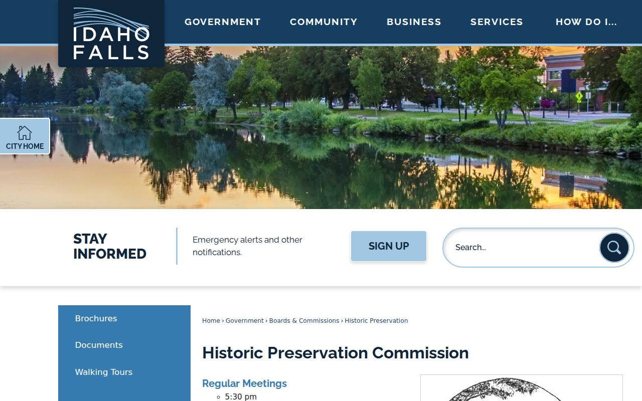
Use the page to locate a dated resource entry, then return to deeds, directories, maps, and newspapers for names and legal events.
Previous Residents Before Bonneville County
Two local changes can hide a result. Eagle Rock was incorporated in 1889 and renamed Idaho Falls in 1891. Bonneville County was formed from Bingham County in 1911, with Idaho Falls as county seat. A search for an early owner or occupant should therefore test Eagle Rock and Idaho Falls, then Bingham and Bonneville according to the date.
The 1911 pivot is especially useful because it aligns with a Sanborn edition, a directory run, and the starting date displayed by the current Bonneville Recorder index. It is not the start of local land history. Pre-1911 deeds may require older books, FamilySearch images, courthouse guidance, ISHS holdings, and the correct county jurisdiction.
Insider tip. Save the county named on each deed or directory citation; regional editions can include nearby counties without indicating a move.
Idaho Falls Past Household Trail
Owners are only half of an address history. A city directory may identify an occupant, spouse, work, and address for one year. A census can show a whole household at a decennial date. Newspapers may explain a move, death, business, sale, or family event. The collections and exact year runs are described on the Idaho Falls city directories page.
- Place each confirmed deed transfer on a dated line.
- Check directory editions immediately before and after that date, preserving the address as printed.
- Compare the closest released census. The 1950 schedule is the latest public decennial census under the 72-year rule.
- Search the Idaho Falls Times, later newspaper resources, cemetery records, and the BYU-Idaho death index for an event that explains a change.
- Label the household match exact, probable, or unresolved. Never turn a same-name result into a fact without a date and place link.
The 1890 census loss creates a special gap. ISHS's reconstructed 1890 index uses records from roughly 1885 through 1894, including land, tax, court, vital, will, and naturalization sources. It is a substitute index, not the missing census itself.
Log Idaho Falls Address Evidence
A short evidence log prevents dates and roles from blending together. Give every row a source, date, page or image, printed address, parcel or legal description, person, role, and confidence. Keep deed parties separate from occupants, permit applicants, cemetery plot owners, and people named in news reports.
| Stable reference | Instrument number, book/page, directory reel/year/page, map sheet, or archive collection ID. |
|---|---|
| Address form | Exact printed address plus the modern normalized form, kept in separate fields. |
| Record role | Owner, deed party, occupant, household member, permit applicant, or other stated role. |
| Access status | Index only, image viewed, copy ordered, restricted, not indexed, or outside coverage. |
| Confidence | Exact, probable, or unresolved, with the reason for that label. |
Archive identifiers last longer than portal links. A later reader can reproduce the work even if a web address or interface changes.
Lawful Idaho Falls House History
Research on previous residents is well suited to family history, estate and heir questions, preservation work, and personal curiosity about a home. Public records still contain gaps and protected data. Avoid attempts to defeat a confidential address, contact a person who does not want contact, or publish sensitive details about living people.
Confirm important facts with the custodian and use the least intrusive source that answers the question. A historic map or directory is often enough for an old-house question, while a certified recorder copy is the better source for a legal property act.
Lawful use. Use Idaho Falls address history for legitimate personal research, never to track, stalk, harass, threaten, or harm a living person.