
Idaho Falls ZIP Directory Range
Seven ZIPs form the working Idaho Falls postal set found in USPS labels and official local address examples. The notes are evidence tiers, not hard boundary lines. USPS address lookup controls delivery for one address. Domestic Mail Manual labels group mail for processing. City and county GIS describe parcels and municipal limits. Census ZCTAs approximate postal geography for statistics.
| ZIP Code | Areas Covered | Post Office | Notes |
|---|---|---|---|
| 83401 | Central, north, and other standard routes tied to the main label | Idaho Falls Main | Grouped with 83403 and 83404; verify each address |
| 83402 | West, southwest, and established delivery areas | Eagle Rock station association | Grouped with 83405; station address does not define a border |
| 83403 | PO-box or secondary delivery grouping | 83401 label group | No broad neighborhood polygon should be inferred |
| 83404 | Standard east and south delivery segments in local data | 83401 label group | Can cross other postal-city and county contexts |
| 83405 | PO-box or secondary delivery grouping | 83402 label group | Address-level office verification required |
| 83406 | Standard Idaho Falls destination-label relationship | Container label routes to 83401 | 2025 logistics update was not a boundary change |
| 83415 | Institutional delivery points linked to INL and DOE addresses | Institutional use | Not a broad residential area |
The USPS address lookup settles the ZIP for a deliverable address. It should control over neighborhood shorthand. Ammon, Iona, Ucon, Shelley, and unincorporated Bonneville County can complicate the Idaho Falls postal line, so the city named in mail is not enough to choose the right local custodian.
Verify Idaho Falls ZIP Assignments
Use USPS first for current mail delivery. Enter the full street number, street name, unit when present, city, and state. Save the standardized address, returned ZIP, city line, and retrieval date. A post-office address explains where service is offered, but not the outline of a ZIP. Idaho Falls Main is at 605 4th Street under 83401, while Eagle Rock is at 875 N Capital Avenue under 83402.
| Lookup item | How to use it |
|---|---|
| Street address | Enter the delivery location, including unit information |
| City and state | Use as entered, then keep the standardized USPS return |
| Returned ZIP | Treat as the current delivery assignment for that address |
| Retrieval date | Record when the live result was checked |
The USPS address search pictured below is the strongest assigned image for the Idaho Falls ZIP code directory.
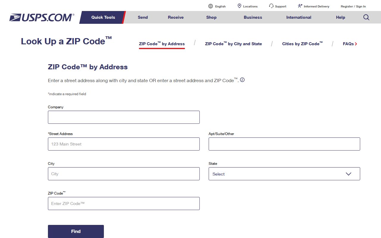
Its result answers delivery. It does not prove that the parcel lies inside Idaho Falls city limits.
Read Idaho Falls ZIP Labels
USPS processing labels group 83401 with 83403 and 83404 under an Idaho Falls 83401 label. A second group places 83402 with 83405 under Idaho Falls 83402. These lines help explain why secondary or PO-box service can share a destination label. They do not draw residential boundaries, show who lives there, or turn one ZIP into another.
A June 12, 2025 Postal Bulletin listed 83406 with a container destination changed to 83401. That is a mail logistics instruction. The address ZIP did not become 83401 merely because its container label changed. This small distinction prevents a common ZIP code directory error: reading a sorting rule as a change in local geography.
Insider tip. Keep the address ZIP, container label, postal city, and legal city in separate research fields.
Find Idaho Falls Residents by ZIP
Local property tools do not provide a reliable ZIP-wide resident filter in the inspected research. The Recorder accepts situs address, parcel, subdivision, legal-description fields, section-township-range, party name, document type, and recording date, but not a stable ZIP control. County parcel guidance focuses on parcel, name, and situs. The current voter form is dynamic and was not verified as a ZIP browser. Do not invent controls that are not present.
- Verify the complete address through USPS and save its ZIP as a current delivery assignment.
- Open City Maps or the Bonneville Parcel Viewer. Confirm the parcel, subdivision, situs, and incorporated boundary.
- Search the Recorder by situs, parcel, or party name. Use the index to locate an instrument, not to create a ZIP roster.
- Use Vote Idaho only through its public interface and legal limits. Confirm an unclear result with Bonneville County Elections.
- Once a street is known, use the Idaho Falls street directory for address-level work.
The ZIP narrows geography, but the source field proves the connection. A deed party, parcel owner, voter, and postal customer are not equivalent roles. A responsible Idaho Falls ZIP code directory keeps those records distinct and labels the date of each result.
Idaho Falls ZIPs and ZCTAs
The Census Bureau creates ZIP Code Tabulation Areas, or ZCTAs, for statistics. They approximate ZIP geography from addresses but are not USPS delivery routes. Some valid PO-box or unique ZIP patterns may have no matching ZCTA. A ZCTA population, therefore, cannot be presented as the number of postal customers or city residents in that ZIP.
The Census ZCTA explanation shows why statistical mapping belongs in a separate evidence tier.
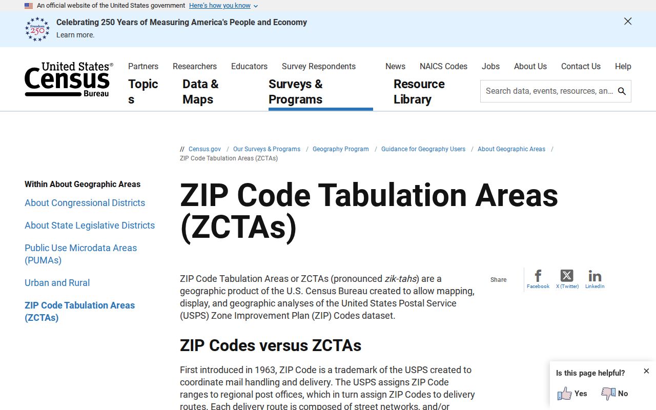
Use it for broad data comparisons, then return to USPS for an address and GIS for a parcel.
The Census also explains the split between postal and legal city names in its USPS and Census city guidance.
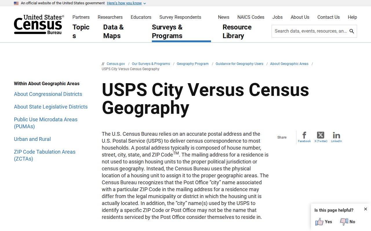
That distinction is central when an Idaho Falls mailing line points to a parcel under another municipal or county context.
Check Idaho Falls ZIP Geography
After USPS, compare the address with City Maps and the Bonneville County Parcel Viewer. Local maps can show city limits, parcels, subdivisions, streets, zoning context, and historic aerials. They do not supply an authoritative USPS delivery polygon. County mapping also warns that its display does not establish ownership or legal boundaries and does not map easements.
The Bonneville County maps page shown below provides the local map route assigned to this ZIP code directory.
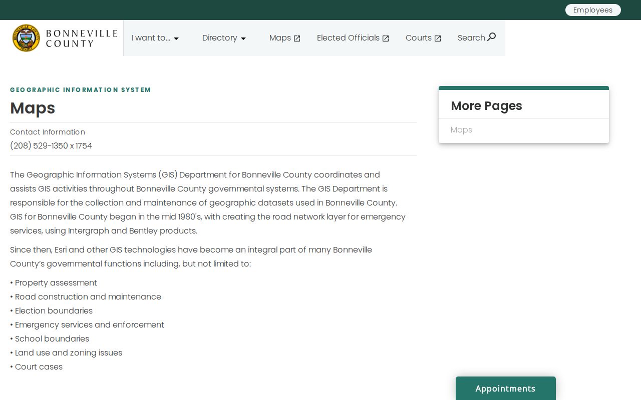
Use its city-limit and parcel context to select the right office, then verify legal claims in recorded documents.
Check Idaho Falls ZIP 83415
ZIP 83415 appears in official Idaho Falls address material tied to Idaho National Laboratory and Department of Energy activity. The inspected sources support an institutional delivery association, but they did not expose a complete USPS classification or ordinary neighborhood polygon. Treat it as a specialized address case, not a broad area of homes.
For any 83415 address, run the same evidence chain: verify the exact delivery line through USPS, locate the physical site through the proper government map, and identify the agency or parcel custodian. A unique or institutional ZIP may have no useful ZCTA counterpart and should not be used to estimate a resident count.
Idaho Falls ZIPs vs City Limits
An Idaho Falls postal city line can reach beyond the incorporated boundary. A parcel may instead fall under Ammon, Iona, Ucon, Shelley, or unincorporated Bonneville County context. Conversely, a city parcel can use a route that does not match a neighborhood's common label. City and county offices keep records by jurisdiction, parcel, and record type, not by the name printed on an envelope.
Historical research needs one more limit. ZIP codes did not exist in the early Idaho Falls city-directory and deed eras. Add a modern ZIP only as a present-day crosswalk and label it that way. For an old address, preserve the old street form, directory year, map sheet, and county jurisdiction instead of forcing a modern postal code into the source.
- ZIP and ZIP+4
- A ZIP covers a delivery area or group; the extra four digits narrow mail sorting for an address or segment.
- PO-box ZIP
- A code used mainly for boxes at a delivery office, not a residential polygon.
- Unique ZIP
- A code associated with a high-volume institution or set of institutional delivery points.
- Carrier route
- A postal delivery path within a ZIP, not a city or neighborhood border.
Boundary check. USPS answers delivery, GIS answers mapped jurisdiction, and recorded documents answer legal parcel questions.